RiverWeb: The American Bottom
In creating our demonstration site, we selected this area because
of its pivotal location near the confluence of the two longest
rivers in the United States, the Mississippi and Missouri rivers,
and the wealth of scientific, historical and cultural themes that
can be explored within its reach.
Named the American Bottom by archeologists, this region is also commonly termed the American Bottoms by some historians. Bottom or Bottoms? Either term refers to lands built
up by the deposition of silt and sediment as the river twists, turns and floods with the changing seasons. At least the river did so once, before becoming engineered this century with locks, dams and dykes.
In coming months, we'll be adding a number of pages concentrating on the
science behind our present understanding of ways
of large rivers, both natural and engineered. For now, though,
we've piloted two landing sites in the vicinity, with a focus
mainly on archaeology, history and culture.
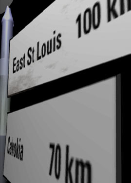
A city that's seen its fair share of good and bad times,
a community with a rich history tied to river navigation
and the nation's Reconstruction and westward expansion
in the wake of the Civil War.
One thousand years ago this Native American city rose as
the preeminent community in a far-flug network of towns
and villages. Then, over a century before the first European
explorers arrived, the civilization vanished. Why?
Time travel back to the ancient City of Cahokia to find out more.
| Home
| History
| Culture
| Archives
| Guides |
Search |
National Center for Supercomputing Applications
Copyright 1997, The Board of Trustees of the University of Illinois