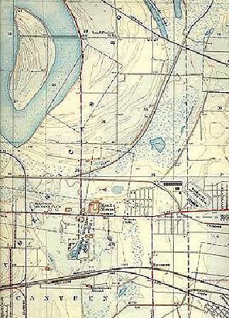
Topographic map of Cahokia region, 1935.
Nevertheless, careful examination of USGS topographic maps often provides the archaeologist and geologist with a general understanding of a site's natural landscape. Knowing the location of drier ground, slope, proximity to streams and other water bodies, for example, can be critical to designing both site survey and sampling methods. Modern topographic maps also provide information on how contemporary activities have modified the natural topography and drainage patterns. Also, an appreciation of the modern landscape revealed on topographic maps helps the geologists define landforms whose genesis can be tested by fieldwork (e.g., examination of soils, stratigraphic exposures, and sediment coring).