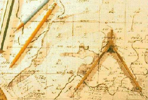
Public Land Survey map - one source for developing a baseline for reconstructing the historic 19th century
natural environment.
|
Public Land Survey map - one source for developing a baseline for reconstructing the historic 19th century natural environment.
|
Mapping of environmental features shown in early- to mid-19th century records (including Public Land Survey Maps, Mississippi River navigation charts, diaries, and associated sketch maps) has begun to remedy this situation, greatly augmenting environmental information drawn from existing topographic maps and clarifying our image of the American Bottom's natural landscape. |
For example, the Public Land Survey (PLS) maps of the early 1800s, later published by the General Land Office (GLO), show what the American Bottom was like just prior to extensive Euroamerican settlement and landscape modification. PLS maps show the location of Native American settlements, roads, taverns, homesteads, and the location of prairies, forests, wet, and dry land. Water bodies mapped by these 19th-century surveyors were drawn on modern topographic maps and transferred into a Geographic Information System -- a computerized mapping and spatial analyst system (HDYK-ENV). Thus, examination of these and other historical documents highlight the opportunities and problems life on this floodplain presented to its Mississippian inhabitants (Milner 1998; Milner and Oliver 1999).