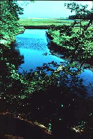
Floodplain stream.
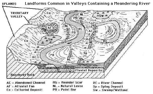
What once were sand bars and point bars of old Mississippi River channels now stood as ridges, slightly more elevated than the surrounding poorly drained areas on the floodplain. These better drained areas became prairie and tree covered ridges. The poorly drained areas of abandoned river and stream channels and backwater lakes, often filled with deep organic muds, supported a variety of wetlands and aquatic plants. Where streams spilled into the valley at the bluffs' edge, vast quantities of sediment from the surrounding uplands were deposited, forming large alluvial fans that often buried older landsurfaces and archaeological sites (HDYK-ENV). Elsewhere the breakdown of the limestone bluffs and sediment washed from the uplands formed steep aprons of colluvial deposits at the foot of the bluffs.