Marine Illinois
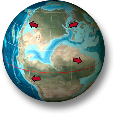
During the Pennsylvanian Period, part of northeastern Illinois was a shallow estuarine bay along the edge of a delta complex. Marine environments across the rest of Illinois varied from shallow intertidal zones to deep ocean.
Near the front edge of the Pennsylvanian deltas, natural levees formed along river channels from buildup of sediment when rivers flooded their banks. The mix of fresh and saltwater in the shallow bays created an environment populated by a wide variety of organisms that could live in the brackish water. Marine environments across the rest of Illinois varied from shallow intertidal zones to deep ocean.
During severe tropical storms, floodwaters moving across the delta buried the shallow bays with silt and mud, leading to the excellent preservation of animal remains.
For information on the forces that caused these changes, click on the Geology and Climate icon below.