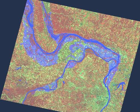
SPOT image of 1993 flooding of Mississippi and Missouri Rivers.
SPOT satellite image ca. 1993 CNES; ERS -1 satellite image ca. 1993 ESA. Radar imagery provided by RADARSAT International. Imagery processed and merged by ITD Space Remote Sensing Center. Subsection & conversion to jpg & GIF by National Operational Hydrologic Remote Sensing Center.